

An Urban Walk in Lancaster, PA
Exploring Downtown and Old Town
Landmark Architecture, Food Markets, Restaurants, Shops, and Cafes
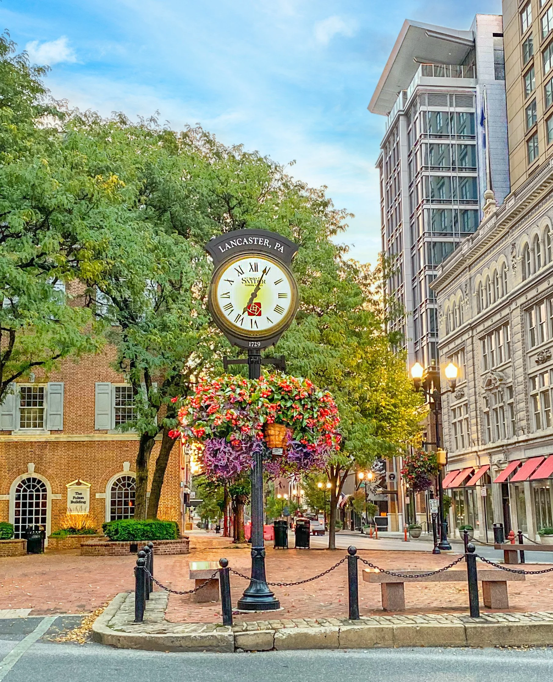
Above: Penn Square. Marriott Hotel / Convention Center
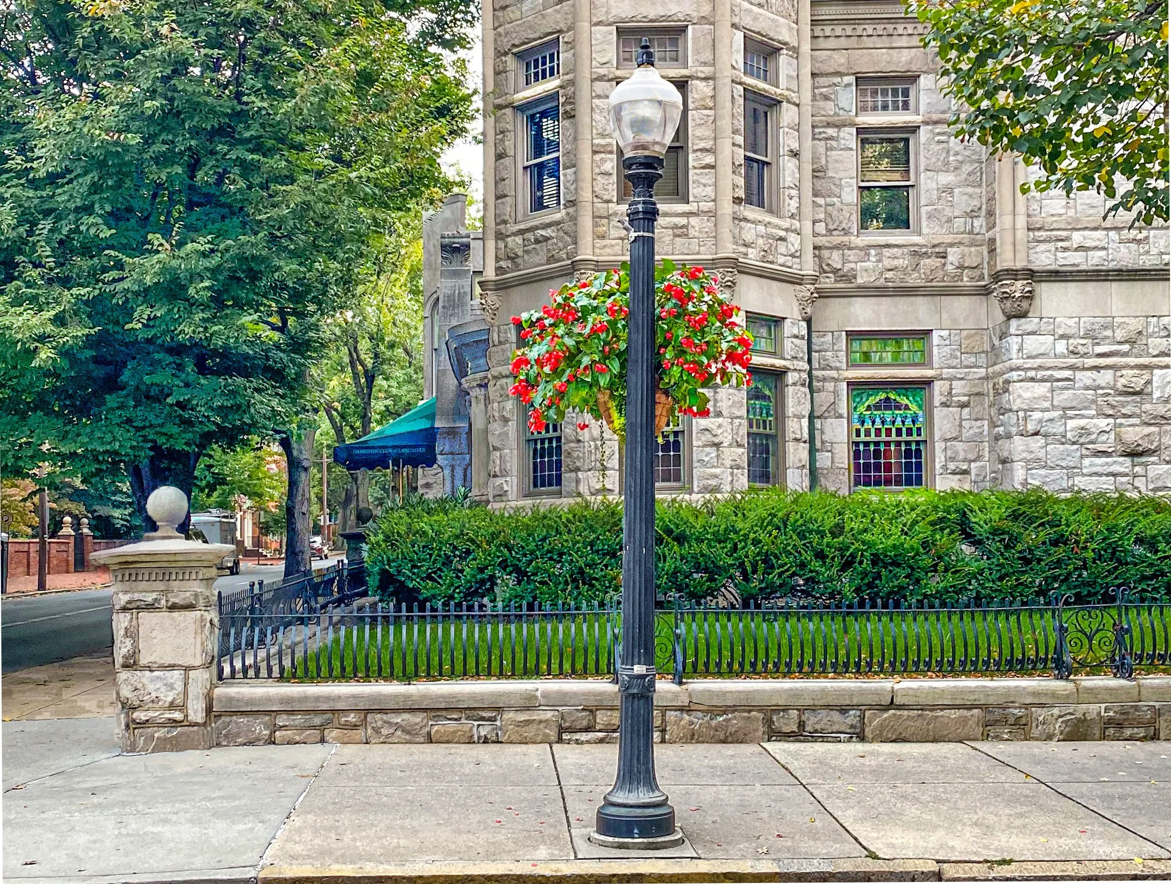
Above: The Hamilton Club (The former Catherine Long Mansion, built in 1890)
Downtown and Old Town Walk:
Distance: 1.8 miles.
Walking time: 45 minutes.
Starting place / ending place:
Lancaster Central Market
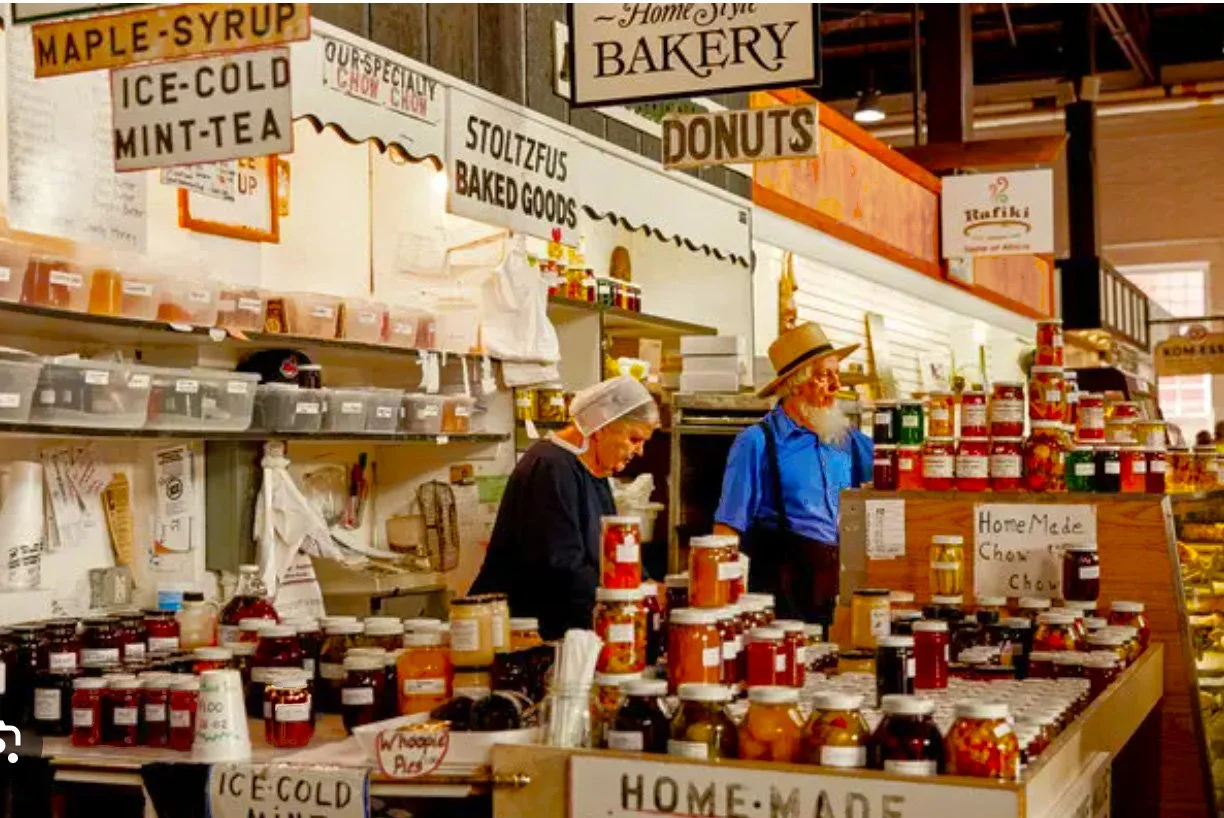
Above: Lancaster Central Market. Image source: The New York Times
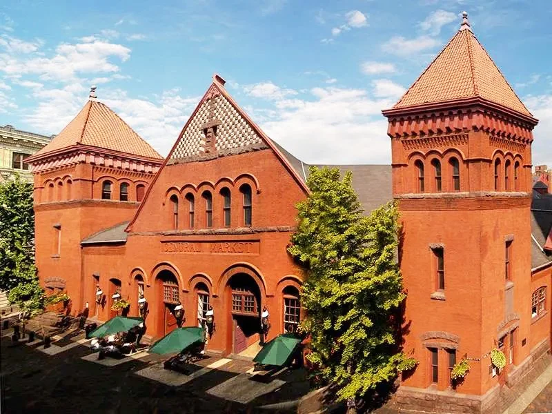
Above: Lancaster Central Market. Image source: Discover Lancaster
Old Town Neighborhood -
Award-Winning Historic Preservation:


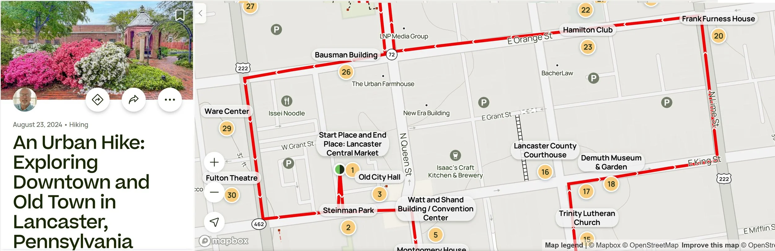
Above: The Award-Winning Steinman Park. Image source: Elisa.rolle Wikimedia cc
You can follow this route on your phone as you walk,
with the free app AllTrails:
Above: This walking route on AllTrails. The AllTrails app is free.
It is one of the most popular apps for following a walking / hiking route on a phone.
Or you can follow this route on your phone as you walk,
And you can explore this route on any device
with this Google Map Link
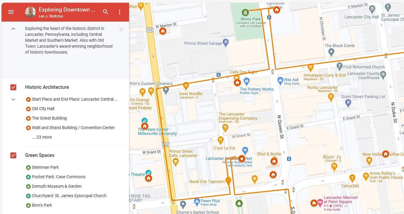
Above: You can follow this route on your phone as you walk, with this Google map: Google Map Link
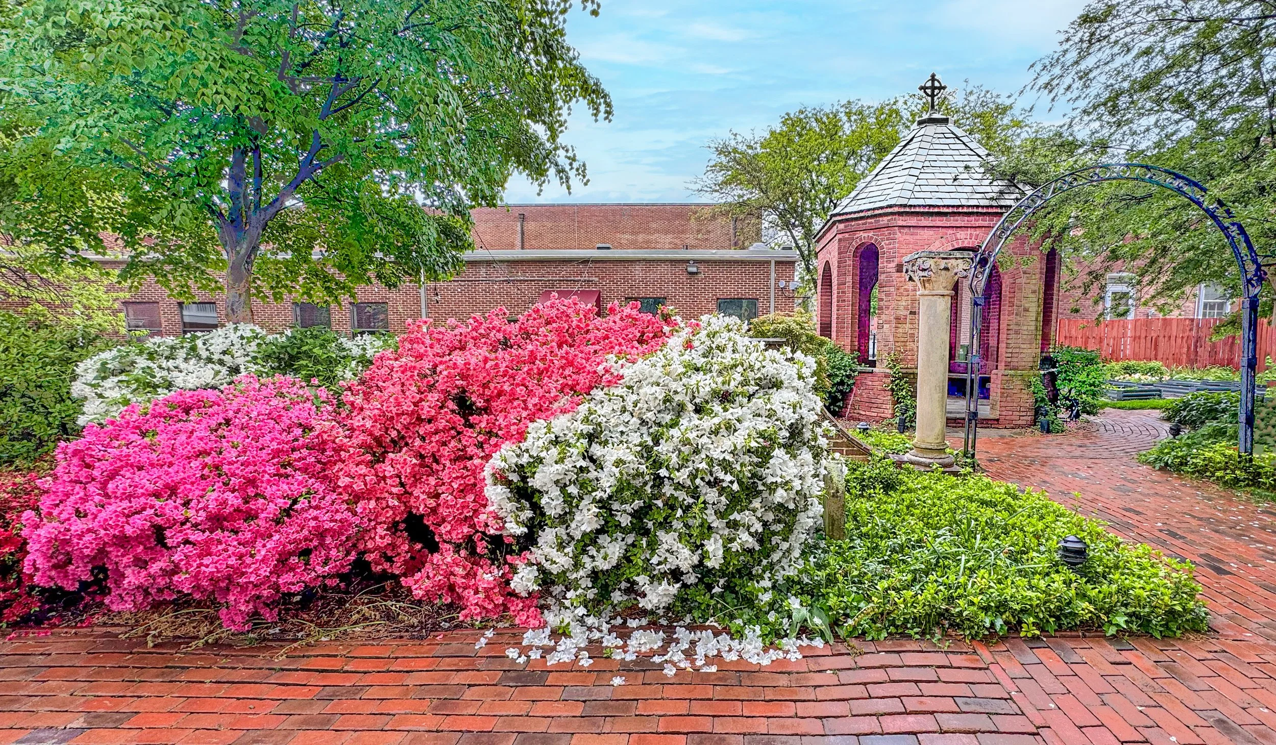
Above: Churchyard at St. James Episcopal Church
Sidewalk Cafes
and Neighborhood Restaurants:
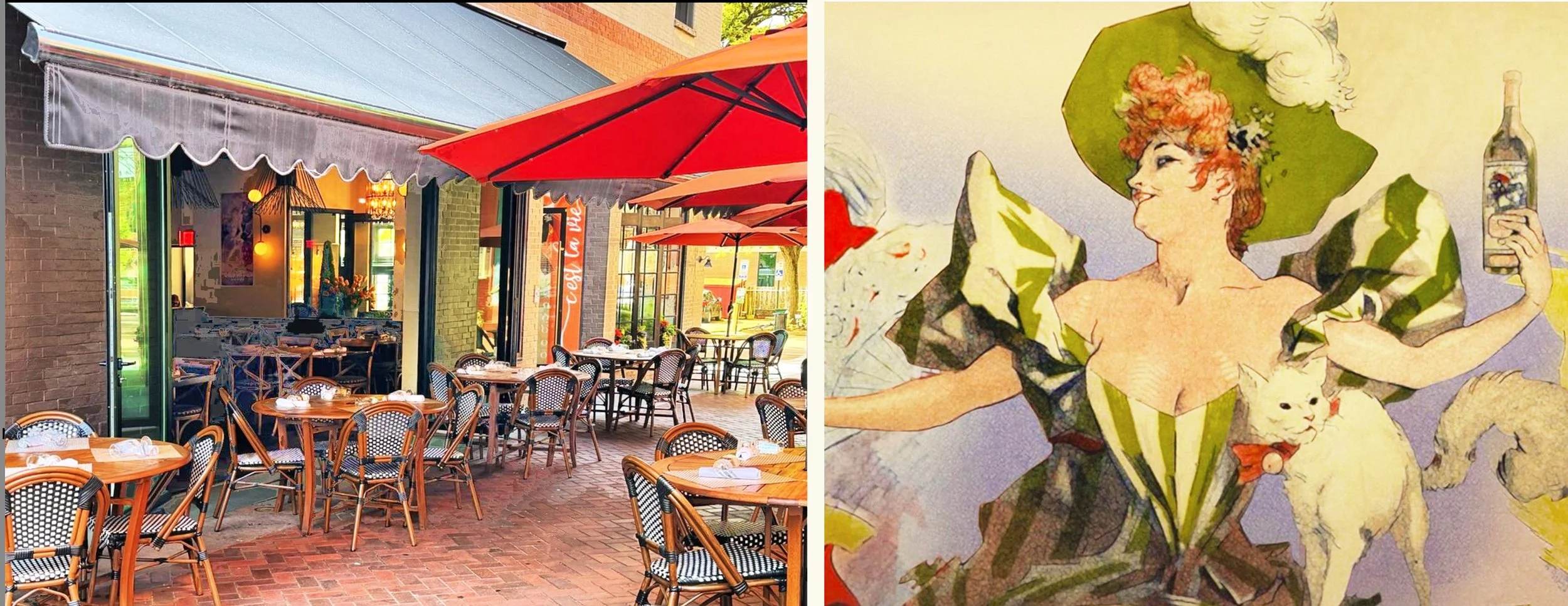
Above: C’est la Vie Bistro. Images source: C’est la Vie
Rooftop Restaurants / Cocktail Lounges:
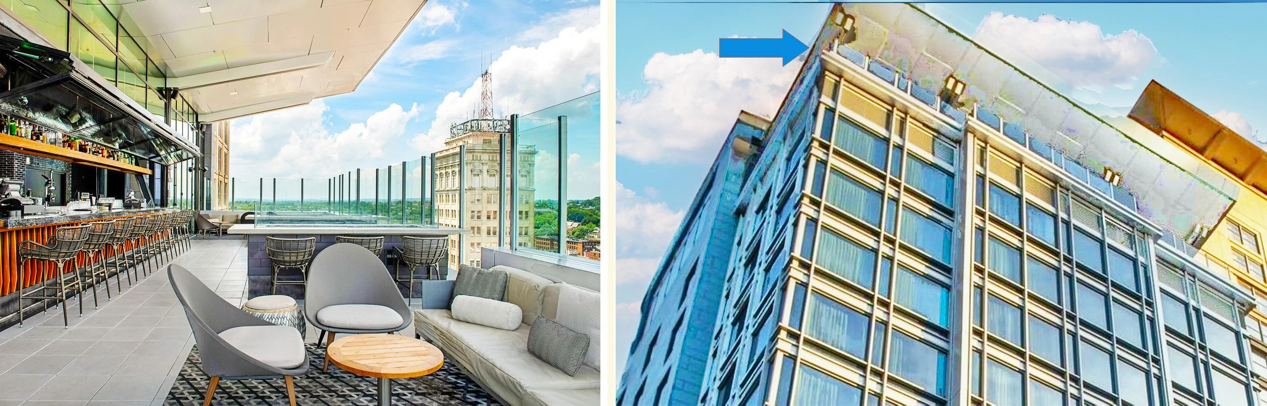
Above: The Exchange. A rooftop restaurant and cocktail lounge. Images source: The Exchange.
Downtown Theaters, Concert Halls,
and Art Galleries:

Above: The Ware Center. A performing arts center on Lancaster’s N. Prince Street.
Historic Church Buildings
on this Walking Route:
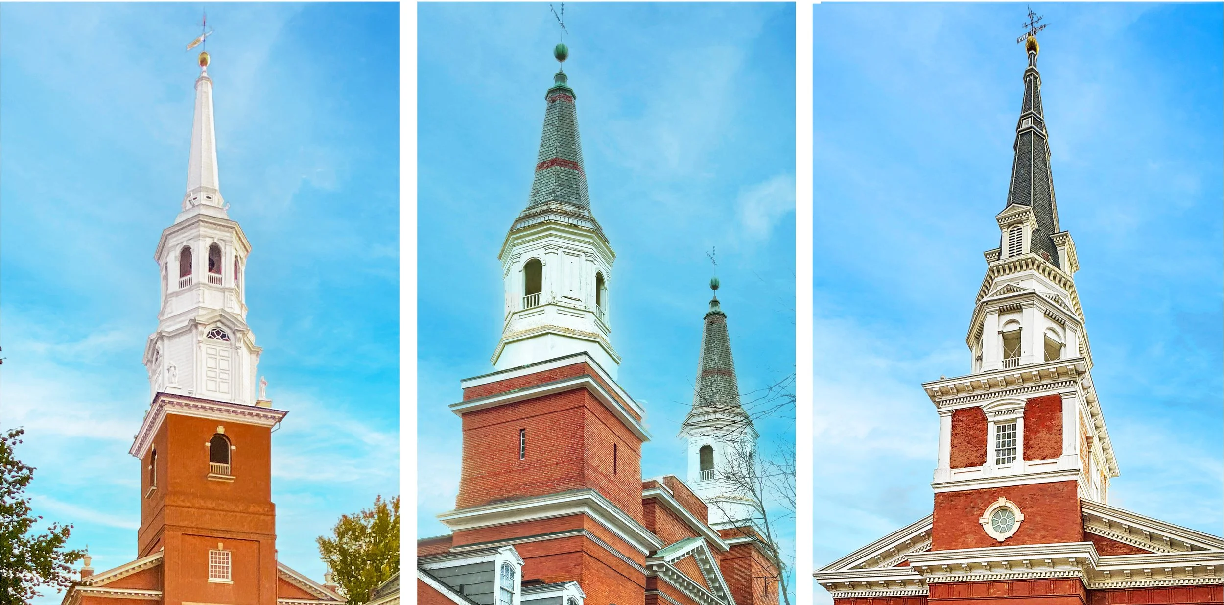
Above: Trinity Lutheran Church, First Reformed UCC Church, First Presbyterian Church, and more
Ewell Plaza and Binn’s Park:

Above: Ewell Plaza: Image source: EwellPlaza.com

Above: Binn’s Park on North Queen Street